Trail Time
Take a Stroll on the Sisson-Callahan Trail
A transplanted easterner and some early tourists to the Mount Shasta region are to thank for one of the great hiking experiences around here.
In the late 1860s, Justin Hinkley Sisson established a hotel, restaurant and tavern near the present town of Mount Shasta. A native of Connecticut, Sisson had been a schoolteacher back east, but reinvented himself when he came out west, becoming a proficient hunter, fisherman and mountain guide – and successful innkeeper. His early- day resort attracted hordes of visitors from the Bay Area, including the famous mountaineer John Muir, who nearly died on one of his ascents of Mount Shasta.
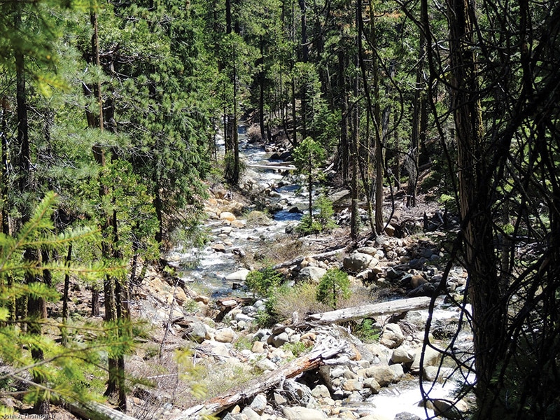
Sisson’s dining room could accommodate 70 people. To keep his restaurant and tavern stocked, he brought in wagonloads of wines, spirits and other supplies over a rough, 55-mile road, a spur of the main freight road from San Francisco to Oregon. The spur ran from the Scott Valley town of Callahan to Sisson’s establishment. Part of that road has survived as the 12-mile Sisson-Callahan Trail, one of the longer and lesser-known trails in the region. It branches off the Pacific Crest Trail near Deadfall Lakes and heads eastward toward Lake Siskiyou.
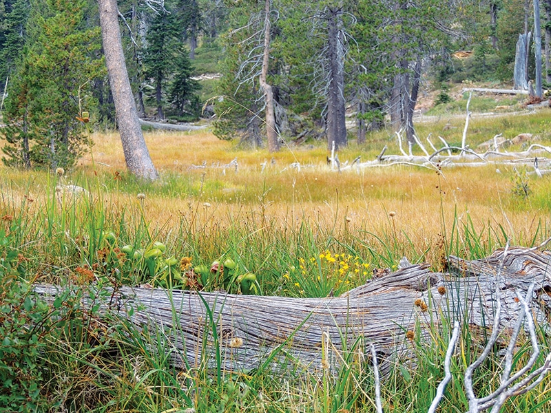
Here’s the good news for hikers: Not only is it one of the more scenic trails in the region, it’s also downhill all the way. For the most part it cuts through the canyon carved by the North Fork of the Sacramento River, so you’re hiking right alongside it, often far above it, gazing down at its shimmering waters and waterfalls. There is at first a steep descent from the spot where the Sisson-Callahan Trail branches off from the Pacific Crest Trail. When it finally levels off, you find yourself winding through a series of lush meadows adorned with exotic-looking cobra lilies.

Getting through these meadows is a little tricky, since the trail vanishes at several points, and you have to rely on markers that include white triangles nailed to trees and a few cairns here and there. Soon, though, you’ll be entering the canyon carved by the North Fork of the Sacramento River and following the well-marked trail beside that stream.
A joint trail improvement effort by the Forest Service and the Mount Shasta Trail Association has made the lower portion of the trail wider, smoother and safer, rerouting it away from stretches where it skirted alongside steep and potentially deadly drop-offs down to the stream.
It’s become an increasingly popular route for mountain bikers. With a number of steep drops and rough, rocky surfaces, it’s recommended for more advanced riders, or those who don’t mind walking their bikes on parts of the trail. From June through the end of October, a shuttle service, Shasta Gravity Adventures, drops riders and their bikes off at the upper end of the trail so they can hurtle all the way down to Lake Siskiyou.
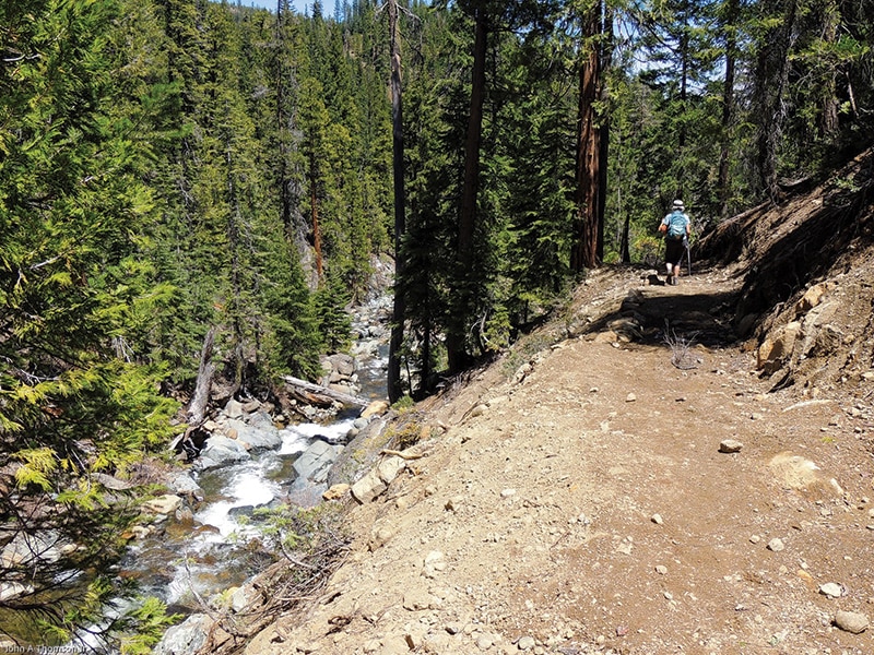
For hikers, the best place to start is the Parks Creek trailhead, where you catch the Pacific Crest Trail heading toward the Deadfall Lakes. You follow the PCT about three miles from the trailhead, then take a left turn, heading east, at the beginning of your hike down the Sisson- Callahan Trail. A sign clearly marks where the trail diverges from the PCT. Then it’s pretty much downhill all the way from there.
It’s helpful if you can use a GPS tracker toward the end of the hike, as you will need to cross one stream, the South Fork of the Sacramento River, and take a couple of different roads before you get to Lake Siskiyou. You can also get directions from the helpful folks at the Mount Shasta Ranger Station.
It’s possible that you won’t see many other hikers on the trail, which means you’re likely to have a quiet encounter with one of the more enchanting, and historic, trails in our region. •
