From the Ashes
Siskiyou County Lava Belt…
From Redding, a straight shot up Interstate 5 into Siskiyou County reveals a geologic wonderland. “If you look at I-5 as being the dividing line, the western part of the county is the Klamath Mountains and exposes old rocks that have been added to North America several hundred million years ago. The eastern half of Siskiyou County is mostly volcanic, however,” explains Dr. Bill Hirt, the emeritus geology instructor from College of the Siskiyous. This eastern section is just part of a long chain of volcanoes known as the High Cascade arc. “If you start at Lassen Peak and travel all the way north through Siskiyou County, Oregon, Washington and into southern British Columbia, you will see this chain of young volcanoes.”
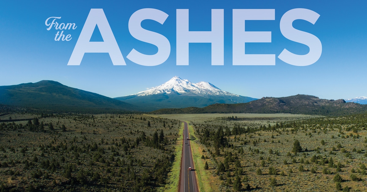
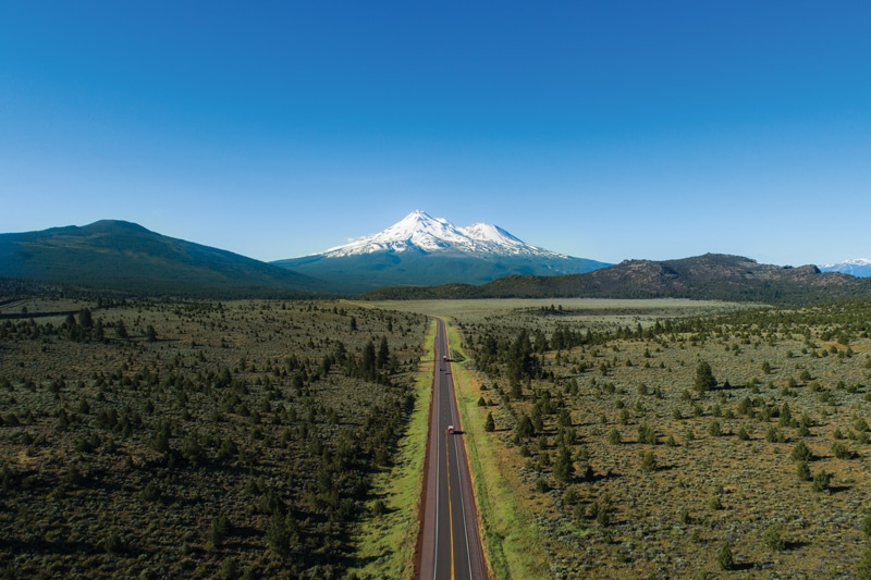
What this means to a visitor is a veritable smorgasbord of volcanic features and eruptive styles, from cinder cones and lava tubes to shield volcanoes and “superstar” stratovolcanoes. “When people see the High Cascades, most are struck by the great stratovolcanoes like Mt. Shasta because they’re huge and have glaciers on them. Of course, you can ski on some of them and one has a big lake in the middle. But along the eastern skyline from I-5 you will also see a series of low, broad volcanoes called shield volcanoes that include Ash Creek Butte, Whaleback, Deer Mountain and Goosenest. They erupt mostly fluid lavas, like those in Hawaii, and actually dominate the High Cascade arc by volume,” says Hirt. Besides their distinct appearances, a big difference between these two types of volcanoes is how they erupt, which depends on the amount of silica in the lava. “Silica is the combination of silicon and oxygen and, in the melt, the silica groups act like little pieces of Velcro and make the lava sticky. When there’s not much silica, the lavas are fluid and just come pouring out of vents to build broad shield volcanoes. On the other hand, the more silica-rich lavas that make up stratovolcanoes like Mt. Shasta are a lot stickier and hold onto dissolved gases better. So, by the time they reach the top, those gases are under such high pressure that they literally tear the lava apart and make huge explosive eruptions like we saw at Mt. St. Helens.”
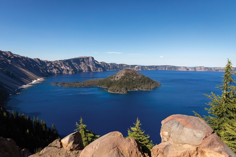
One of the best ways to explore the region’s volcanic marvels is along the Volcanic Legacy Scenic Byway, a 500- mile stretch of roadway that runs from Lassen National Park in Northern California to Crater Lake National Park in Southern Oregon. Along the way, it passes Mt. Shasta, Medicine Lake Volcano and the Lava Beds National Monument, as well as numerous other shield volcanoes, cinder cones and waterfalls. According to the Byway’s website, a trip’s highlights include descending into a lava tube, climbing to a crater rim, walking on a mountain of glass or soaking in a crater’s lake. Each of the three main stratovolcanoes along the route also tells a unique story. “Stratovolcanoes aren’t built to last. Currently, Shasta is the one that’s in good shape. Crater Lake, on the other hand, represents one way these volcanoes fail, which is by forming a caldera. Formerly known as Mt. Mazama, magma that had collected under the volcano’s summit erupted rapidly about 7,700 years ago and the top of the mountain basically sank into the empty magma reservoir. Farther south, Mt. Tehama in Lassen National Park represents another way stratovolcanoes fail. Here, hot springs ‘rotted’ the core of the mountain, and then streams and glaciers carved out its weakened center.”
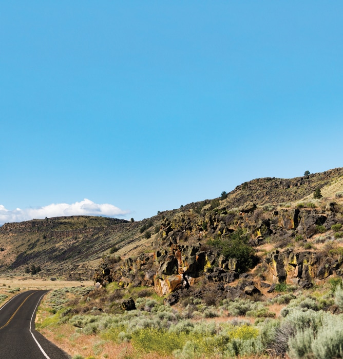
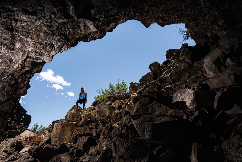
But perhaps the most unusual section of the Byway in eastern Siskiyou is the Medicine Lake shield volcano and surrounding landscape that includes the Lava Beds National Monument and Glass Mountain. It’s so otherworldly that NASA has used it in the past as a lunar analog for astronaut training, sending crews out to practice “moonwalking” on terrestrial surfaces before ever setting foot on the moon itself. Hirt explains the reasoning behind NASA’s decision. “It was mostly about learning to collect samples and getting used to walking across a volcanic landscape because it can be tricky. You’ll get these small lava tubes near the surface and when you put your weight on them, they can collapse. Of the astronauts, I think only Harrison Schmidt was a geologist (Apollo 17). The others were learning to make geologic observations and getting used to walking safely on basalt lava.”
Just as it’s done for eons, the landscape continues to be in flux. “The Cascades won’t go on forever. Today, the youngest active Cascade volcano is in the southern part of Lassen National Park. But 10 million years ago, there were active volcanoes south of Lassen. As the San Andreas fault grows northward, the southern end of the High Cascade arc is shutting off. So, as time passes, eventually Lassen will become extinct, then Shasta, and so on as the plate boundary changes.” But Hirt says not to worry. “It’s not going to happen in our lifetimes, so there’s still time to enjoy the volcanoes.” •
www.volcaniclegacybyway.org

