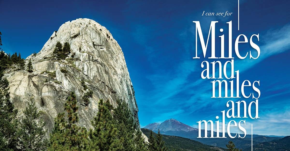
I Can See for Miles and Miles and Miles
North State Hikes with a View…
One of the greatest things about Shasta County is its wide-open spaces and the ability to get out in nature to explore, unplug and recharge.
And while wanderlust is great, sometimes climbing the mountain for the sake of climbing isn’t enough. You want to see the sights from the summit. Shasta County has plenty of summits to climb, and you can rest while you take in the awesome beauty of nature.
Here are some of the best spots where you can, to quote The Who, “see for miles and miles.”
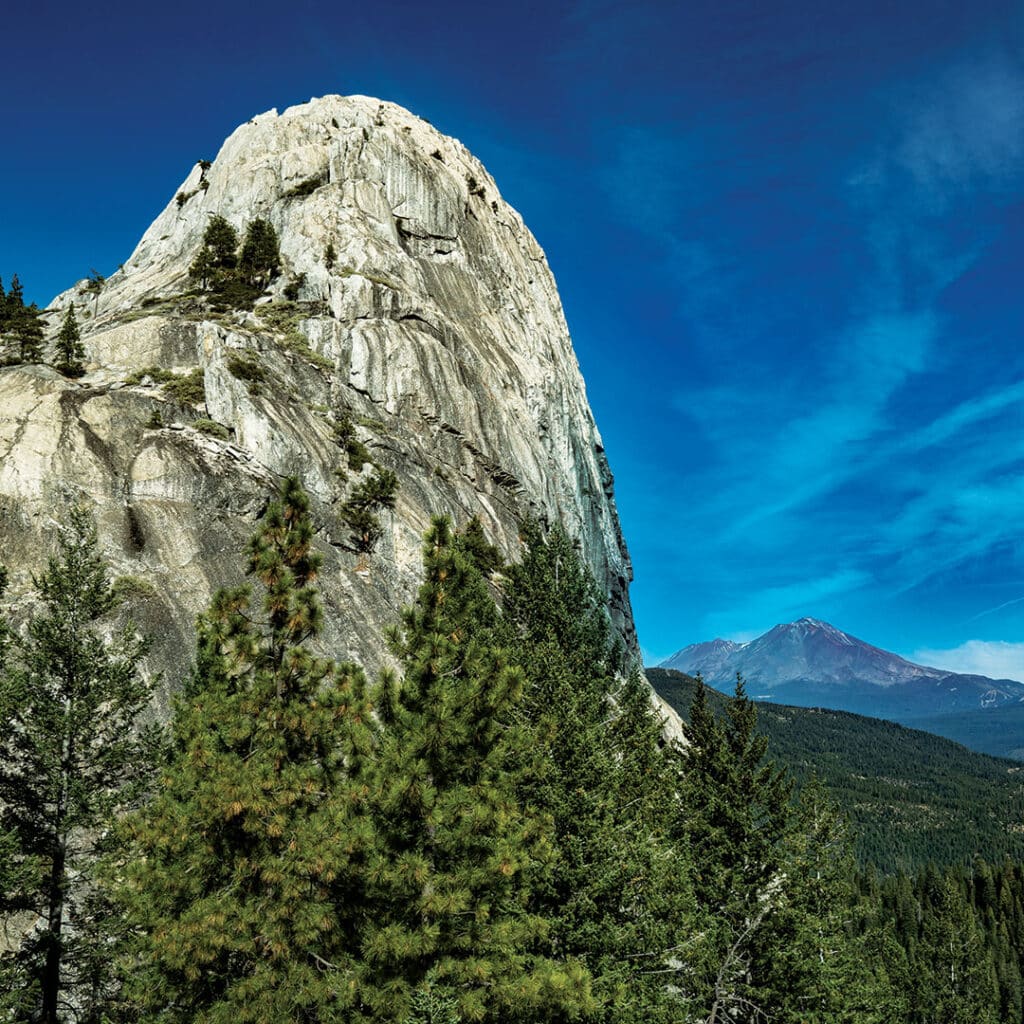
Castle Crags Dome Trail
Hard, 5.2 miles, out and back
2,066-foot elevation gain
There are dozens of hikes in and around Castle Crags State Park. Heck, the Pacific Crest Trail cuts a swath through it. But the one with the million-dollar view is the Dome Trail. It’s a tough hike for the novice, and challenging for even the seasoned, but the payoff is always worth it.
The hike is almost like two separate treks in one: The first part is a switchback paradise under the forest canopy, while the second half meanders out in the open among the brush. The hike is best from mid-spring through early fall. Dogs aren’t allowed on the trails. When you reach the top, the scramble up to the dome should be approached with care.
Burney Falls Loop Trail
Easy, 1.0 miles, loop
167-foot elevation gain
Burney Falls is one of the must-stops when visiting Shasta County and the loop trail offers a chance to explore in and around the MacArthur-Burney Falls State Park area. It’s an easy trail accessible for most, and takes visitors down to the falls, then away toward Lake Britton before crossing over to the west of the falls and then back across upstream from the underground spring-fed cascade.
Any time of year is a great time to head to Burney Falls, as each season offers a different but equally spectacular look. But be forewarned, the summer months tend to get crowded and parking becomes scarce as the crowds flock to escape the valley heat.
Lassen Peak Trail
Hard, 4.9 miles, out and back
1,971-foot elevation gain
You could spend a summer in Lassen Volcanic National Park and only begin to scratch the surface of all the splendor in one of the most underrated parks in the country.
But the trail to the peak is among the favorites. It’s tough sledding, for sure, but doable for most. The road to the trailhead parking lot is among the last to be cleared from the winter, meaning its accessibility varies from year to year. On the trail, a series of switchbacks await on the exposed east face of the volcanic peak (wear sunscreen and stay hydrated).
One popular hike is to get to the trailhead early in the morning to time your summit with the sunrise. Cold, yes. But how many times can you say you’ve sat atop a volcano to watch the sunrise?
Bumpass Hell Trail
Easy, 2.7 miles, out and back
433-foot elevation gain
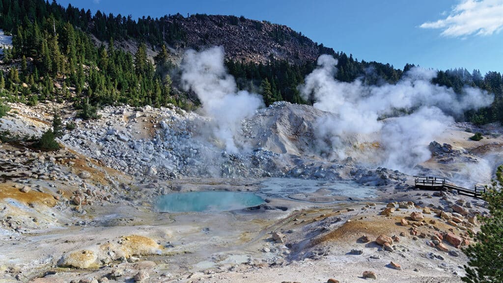
Don’t be turned off by the words “stinky fumaroles.” This is one of the most popular hikes in Lassen Park as well as one of the most educational. Meandering through the park’s largest hydrothermal area, it’s not a descent into Dante’s “Inferno,” but named after Kendall V. Bumpass, one of the first white settlers to explore the area.
There are no scenic mountain top views, but dive – figuratively, as visitors are reminded to stay on the paths and not approach the acidic boiling water and mud – into the world that created the volcanic area in and around the park. The hike is easy, but remember you’re walking around at a higher elevation than Redding. Bring water and know your ability.
Cinder Cone Trail
Hard, 4.7 miles, out and back with loop
1,055-foot elevation gain
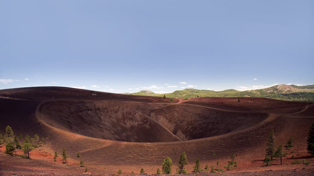
OK, we’re going to fudge just a bit to include Cinder Cone, which technically is on the county line. The trailhead is at the Butte Lake parking area and wanders just over a mile among the Fantastic Lava Beds until you reach the base of the Cinder Cone. From there you climb toward the postcard-like payoff.
The top of the cone has a trail around the crater, which feels otherworldly. And the surrounding views are second-to-none with an unencumbered view of Lassen Peak off in the distance. The hike is largely exposed and can get warm in the summer afternoons. As with all hikes in Lassen Volcanic National Park, an entrance pass is required and dogs are not allowed.
Chamise Peak Trail
Moderate, 4.6 miles, out and back
698-foot elevation gain
The 360-degree views at the top make this a for-sure, must-do hike in Shasta County. From one side, you can see the Three Shastas – Shasta Dam, Shasta Lake and Mt. Shasta. From the other, you get a dynamic view of the Redding area and the valley that extends for miles.
The hike is open to hikers, bikers and even horseback riders, so expect to share the trail. Dogs are welcome, but need to be leashed. Because of the stunning views, this trek has become a favorite of late, so it can sometimes get a little crowded. Don’t let that keep you from exploring this fun out-and-back. Spring and fall are especially good times as our notorious summers can make this an early-morning trek during peak heat.
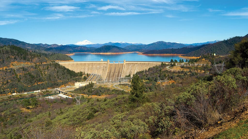
Shasta Dam Trail
Easy, 1.4 miles, out and back
68-foot elevation gain
Less of a trail than a pleasant walk, this is a must-do for anyone who lives here or visits. Whether the lake is lower or near full, as it is now, the walk across the dam is an easy and enjoyable way to explore part of Shasta County history. The Visitors Center offers history about the dam building – and when it’s operating, take the tour.
If you’re looking for a nice place to walk at any time of the day, the Shasta Dam Trail never fails.
Cloverdale Loop
Easy, 1.7 miles, loop
173-foot elevation gain
Out toward Igo, the Cloverdale Loop offers sweeping views of the valley to the east and, at a rest point midway through the trek, a panoramic vista overlooking Clear Creek.
A multi-use trail finds hikers, bikers and equestrians on the path, and dogs are welcome and may be off-leash in some areas. Trail work and brush clearing after a fire last year has made this trail a little more wide open, but it’s a great way to get lost for a little bit.

