Backroad Adventures
Experience the Open Road From Callahan to Gazelle…
Some roads are meant to connect points A and B. Then, some roads are all about the journey in between. Such is the backcountry route that connects the two communities of Callahan and Gazelle in a remote stretch of western Siskiyou County between Interstate 5 and Highway 3. A longtime favorite route with motorcyclists, its stunning views, history and pockets of adventure are a delight to anyone wanting to take the scenic route or get out and explore some backcountry.
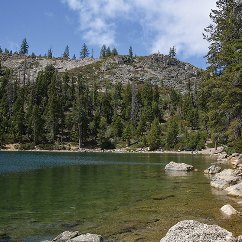
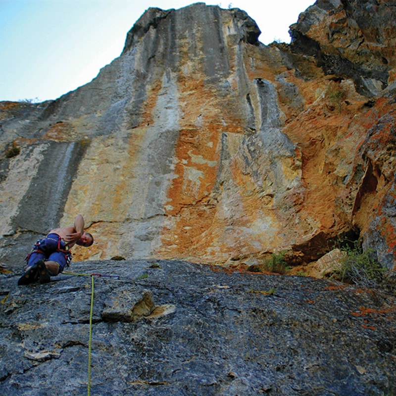
“The roadway between Gazelle and Callahan is one of my favorites because it sums up Northern California to me. Rivers, forests, rocky outcrops, fresh air, blue sky and empty, winding road,” says Chris Carr, executive director of Shasta Mountain Guides, which offers guided climbs on the most prominent limestone crag in the area called Lover’s Leap. “You go to a place like Yosemite to climb and it’s impacted. You don’t find that here. You get world-class vistas and private adventure.”
Stunning views and private adventure are the defining qualities of the 27 miles of meandering two lane road. For maximum visual impact, it’s best to start in Callahan at the southern end of Scott Valley and travel northeast to Gazelle, where the second half of the journey is dominated by drop dead views of looming Mount Shasta. To start with, Callahan is worth a stop. Once a booming town during the Gold Rush, now about 50 people call it home. Trailheads above town offer the promise of remote wilderness hiking adventures, and a bar and Emporium on the main drag offer a favorite local experience. It’s also the last spot where there may be phone reception for a while, and the serenity of feeling remote can finally set in.
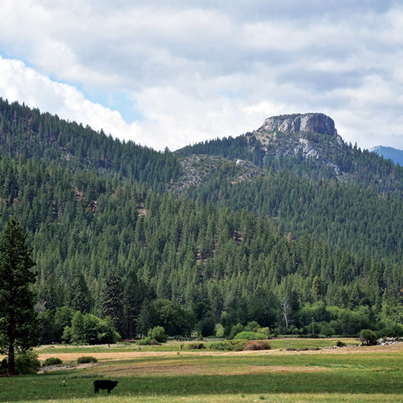
From Callahan, Highway 3 continues right toward Weaverville, while the road to Gazelle curves to the left. It weaves through forest and agricultural land, eventually dropping into the broad and historic Plowman’s Valley. This is where Carr guides sport climbing routes up on Lover’s Leap – a commanding square and barren crag looming over a broad valley floor. Although Lover’s Leap has only recently been developed as a sport climbing route, meaning that there is permanently installed anchor equipment along established routes, there are nearly 100 different mapped routes and, as Carr notes, there’s “room for more.”
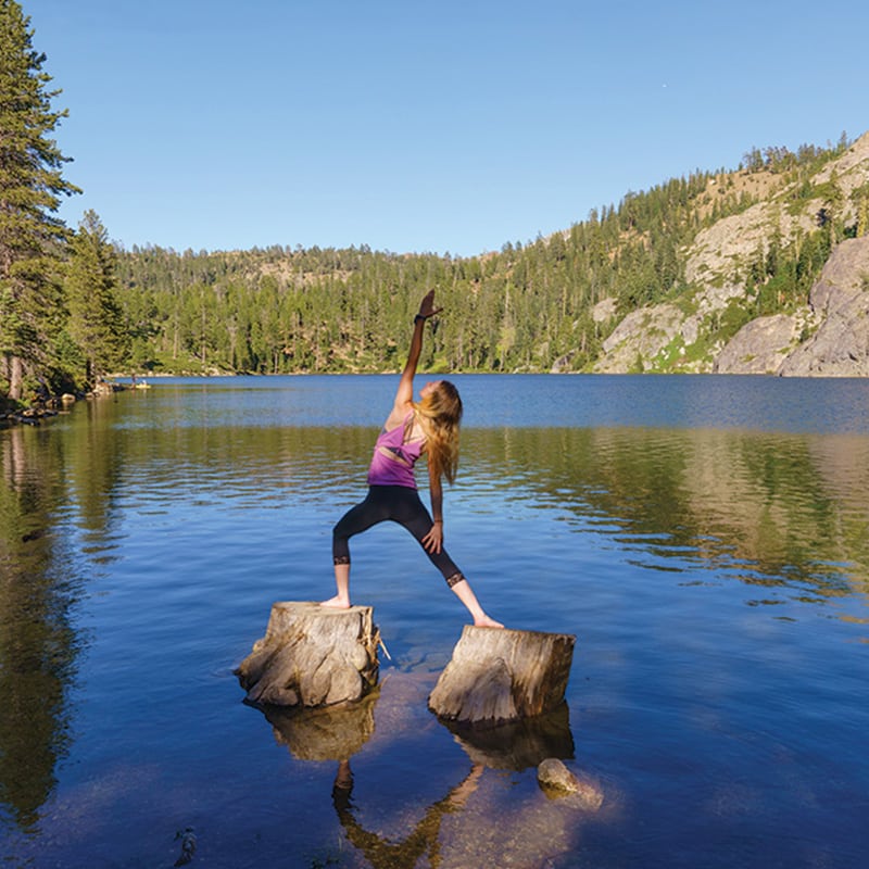
This sprawling valley is also where the historic A-P Cattle Ranch was founded by Alexander Parker in 1858, and cattle still graze. It’s also near one of the other pockets of adventure on the route, Kangaroo Lake and campground located about eight miles off the road itself. Managed by the Klamath National Forest, the picturesque lake covers about 25 acres and is 110 feet deep. Motorless boats are permitted on the lake, making it a great spot to kayak, though it can get surprisingly crowded in the summer. Water temps can also be “chilly,” according to Kimberly Devall, the public affairs officer for the Klamath National Forest.
Past the A-P Cattle Ranch, the route meanders through some high mountain roads and some dramatic twists and turns, eventually revealing a grandiose Mt. Shasta generally set against a bright blue sky. Carr jokes the views of Mt. Shasta tend to function as a “14,000-foot billboard” for adventure in the region. Exploring the backroads is something Carr encourages everyone to explore – on a drive or otherwise, especially with a local guide to keep it safe. “Whether fishing, rafting, climbing or whatever, being here can be a transformational experience and we are privileged to be a part of that.” Devall also stresses the importance of following leave-no-trace principles, practicing fire safety awareness and having respect for each other while exploring the off-the-beaten path and more remote places in Siskiyou. “If everyone is willing to venture out and do their part, visitors will have a greater experience.” •
Shasta Mountain Guides •
www.ShastaGuides.com
230 N. Mt. Shasta Blvd., Mount Shasta •
(530) 926-3117

